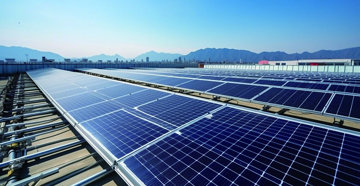
A photovoltaic plant converts heat problems directly into lost revenue. A single hot cell inside a module drags down the whole string; a corroded connector in a combiner box heats up, wastes power, and eventually starts a fire on a DC circuit that never sleeps. Thermal imaging is the one inspection method that sees both — at module level from the air, and at component level inside the electrical room.
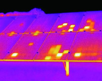
The economics are straightforward. A drone thermal survey of a utility-scale site takes hours instead of the weeks a walking IV-curve crew would need, and it converts “the plant is underperforming” into a geo-tagged list of the exact modules, connectors, and strings responsible. Fixed cameras then watch the equipment that never gets surveyed — combiner boxes, inverters, and transformers — where a warming connection is the earliest fire warning available.
Typical Deployments
- UAV module surveys: LWIR payloads on drones map hotspots, cell defects, bypass-diode failures, and PID-affected modules across entire arrays; findings are geo-tagged for the maintenance crew
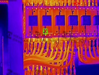
- Combiner box and DC connector monitoring: fixed thermal cameras watch terminals and fuse holders — a connector running hotter than its neighbors is corroding or loosening
- Inverter station monitoring: radiometric cameras supervise IGBT cabinets, filter reactors, and cooling performance inside inverter stations
- Step-up transformer and switchgear: transformer bushings, tap changers, and cable terminations trended for temperature drift between maintenance cycles
- Rooftop distributed PV: periodic thermal sweeps of commercial rooftops catch junction-box heating and connector faults before they become roof fires
Module Selection Guide
| Scenario | Module | Key figures |
|---|---|---|
| UAV array survey & hotspot mapping | SPECTRA L06A (640×512) | ≤300 g class with lens, 9.1–75 mm lens family |
| Fixed monitoring of combiner / inverter rooms | SPECTRA L12A (1280×1024) | Wide coverage per camera, radiometric output |
| Survey documentation (thermal + visible) | FUSION LV0625A | Dual-band LWIR + visible on one chip |