A stressed plant announces itself long before it looks sick — not in color, but in temperature. A crop that cannot draw enough water closes its stomata, stops cooling itself by transpiration, and its canopy warms by measurable degrees days before leaves yellow or wilt. That thermal signal is the basis of modern precision agriculture, and a drone carrying the right infrared sensors can read it across an entire farm in a morning.
This case looks at how a large grain producer replaced foot scouting with drone-borne thermal and SWIR crop mapping — and what changed when agronomists could see stress before it was visible.
Project Background
In 2023, the agronomy team of a grain production company in northeast China — managing roughly 20,000 hectares of corn and soybean across several farm divisions — faced a scale problem that had quietly become the limiting factor in its agronomy. Field scouting ran on foot and by vehicle: agronomists walking transects, checking irrigation equipment, and flagging problem patches. The arithmetic never worked. A scout could meaningfully cover a few hundred hectares a week; the farm’s crops could move from first water stress to yield-limiting damage inside that window, and patchy problems — a blocked irrigation nozzle, a disease focus starting in a low spot, a compacted headland — were found by luck as often as by method. Satellite imagery helped at the coarse scale but its revisit time and cloud cover made it a lagging indicator. The team had used visible-drone photography for two seasons and found its limits the hard way: by the time stress is visible to a color camera, the yield impact is largely locked in. They funded a thermal-plus-SWIR drone mapping program for the 2024 season.
Pain Points of the Traditional Approach
- Foot scouting can’t cover the arithmetic. Tens of thousands of hectares against a handful of scouts means most fields are seen seldom, and stress windows are shorter than revisit intervals.
- Visible symptoms are lagging indicators. Yellowing and wilting announce stress after yield potential is already lost; management at that stage is damage limitation, not prevention.
- Satellites miss the decision window. Multi-day revisit times, cloud gaps, and coarse pixels make satellite indices a strategic tool, not an operational one.
- Uniform treatment wastes inputs on the healthy majority. Without a stress map, irrigation and crop protection run uniformly across fields that are anything but uniform.
The Thermal Imaging Solution
The program flies a mapping drone carrying a radiometric LWIR module for canopy temperature and a SWIR module for moisture-sensitive vegetation indices. Weekly missions cover the season’s priority blocks, with targeted re-flights after weather events; each flight produces georeferenced thermal and SWIR mosaics that the agronomy platform turns into stress maps within hours of landing.
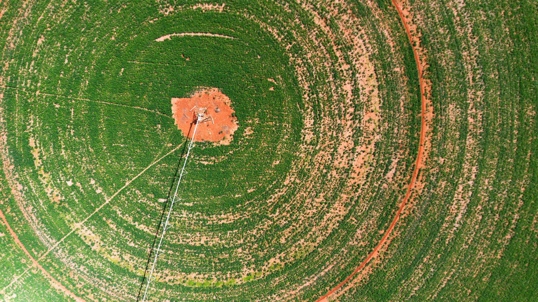
The thermal channel is the workhorse: canopy temperature, corrected against weather station data, maps crop water stress directly — a warm patch in an otherwise cool field is a crop that has stopped transpiring. The SWIR channel adds sensitivity to canopy water content and early disease signatures, and together the two separate “dry” from “sick” far more reliably than either alone. Irrigation failures are the most immediate win: a blocked nozzle or a kinked lateral shows up as a sharp thermal line or circle, usually on the first flight after it happens. Findings go out as work orders — inspect this pivot span, scout this low patch for disease — with coordinates attached.
What the Thermal Solution Changed
- Stress detection moved days earlier. Across the first season, the team repeatedly identified water-stressed patches four to seven days before visible symptoms, early enough for irrigation corrections that measurably protected yield in the affected blocks.
- Irrigation failures stopped hiding. Equipment faults that previously surfaced at harvest as thin yield maps were caught within one flight cycle; the farm logged a clear drop in irrigation-related yield loss.
- Scouting became targeted instead of random. Agronomists now walk to coordinates the maps flag, and their limited hours go to the hectares that need them; coverage per scout effectively multiplied.
- Inputs followed the map. Variable-rate irrigation and spot crop protection replaced several uniform passes, cutting water and chemical use on the trial blocks while holding yield.
Module Selection Notes
Agricultural mapping needs a radiometric LWIR module small and light enough for a mapping drone, with stable measurement across a long flight; a SWIR channel adds the moisture and disease sensitivity that separates water stress from pathology. The SPECTRA L04T 384×288 uncooled LWIR module is the drone-mapping workhorse, and the SPECTRA S06A SWIR module pairs with it for the short-wave channel. See the agriculture application page for drone and fixed-monitoring patterns.
Planning drone crop mapping or precision-agriculture sensing? Talk to our engineers about LWIR/SWIR selection, payload integration, and radiometric calibration.