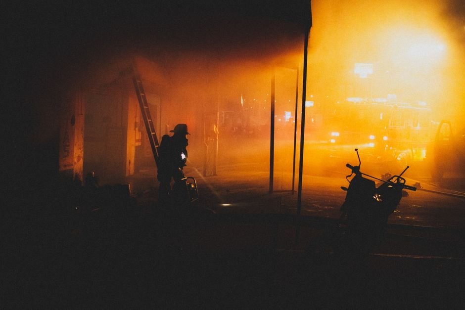
Every structural fire hides its most important facts behind a wall of smoke: where the fire actually sits, which way it is travelling, and whether anyone is still inside. Incident commanders have always pieced this picture together from fragments — what little is visible from the perimeter, a walk-around in the first minutes, and the radio reports of the first crews sent in half-blind. Every minute spent assembling that picture costs property, and sometimes much more.
A drone carrying a thermal camera cuts straight through the blindfold. Heat signatures read cleanly through smoke and total darkness, the aircraft is overhead within minutes of arrival, and the commander watches the building’s thermal truth on a tablet instead of reconstructing it from guesswork. This case looks at how one municipal fire brigade built that capability into its front-line response.
Project Background
In 2024, a municipal fire and rescue brigade in east China — more than forty stations covering dense old-town blocks, high-rise residential districts and two industrial parks — reviewed the information problem on its firegrounds. The brigade already flew drones, but mostly for post-incident documentation and daylight reconnaissance. Night fires and smoke-logged structures remained opaque: visible-light video from the first critical minutes was often unusable, and commanders were committing crews into buildings whose fire location they could only infer. A post-incident review of a warehouse fire the previous winter — where the first interior crew searched the wrong end of a 200-metre building for eight minutes — gave the program its mandate: put radiometric thermal payloads on the quick-response quadcopters kept at the busiest stations, with thermal recording archived for post-incident investigation.
Pain Points of the Traditional Approach
- Visible cameras go blind exactly when information matters most. Smoke, night and the fire’s own glare defeat conventional drone video in the first, most decisive minutes of an incident.
- First-in crews scout blind. Firefighters commit to interior search before anyone knows where the fire is — spending the riskiest minutes of the operation simply finding it.
- Hidden heat only announces itself as disaster. Hot spots inside walls, ceilings and void spaces stay invisible until they become a flashover, a collapse, or a rekindle hours after crews leave.
- Investigations lacked temperature evidence. Without a radiometric record, arguments about fire origin and spread remained arguments — origin-and-cause work relied on burn patterns alone.
The Thermal Imaging Solution
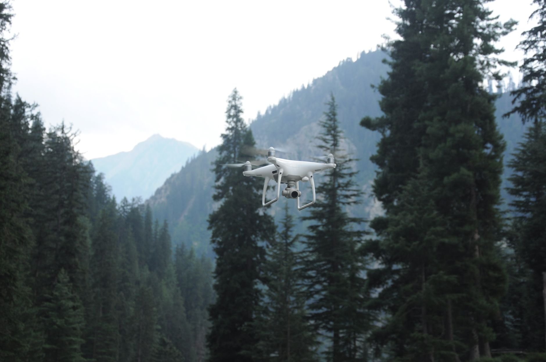
The program equipped the brigade’s quick-response quadcopters with radiometric thermal payloads and defined two fireground roles. The first is exterior reconnaissance: on arrival, the drone orbits the structure while the commander watches a live thermal picture — the seat of the fire shows through the building envelope, vertical spread reveals itself along shafts and façades, and roof involvement is confirmed or ruled out in a single pass. Decisions that used to wait for the first interior report now happen in the opening minutes, on evidence.
The second role is overhaul support. After knockdown, the drone sweeps the structure for residual heat — hot spots buried in voids, smouldering insulation, a still-warm flue — so crews open up exactly where it matters instead of stripping whole rooms on suspicion. Because the payload is radiometric, every frame is also a measurement: the full thermal record is archived and has become routine evidence in origin-and-cause investigation.
Neither role asks anything new of the crews: the drone is the one they already flew, the pilot is the same qualified operator, and the thermal feed simply replaces a video feed that smoke made useless anyway.
What the Thermal Solution Changed
- Seat-of-fire localization moved from interior search to first arrival. Commanders now see the fire’s position and spread from the opening orbit — the eight-minute wrong-end searches that triggered the program have not recurred.
- Crew commitment is decided on a heat map, not a hunch. Offensive versus defensive calls, entry points and ventilation positions are chosen against the building’s actual thermal state.
- Rekindle callbacks dropped sharply. Overhaul sweeps find the hot spots that used to smoulder into a second alarm; crews leave having seen the structure’s residual heat, not hoping about it.
- Investigations start with evidence. The archived radiometric record — temperatures, not just images — has shortened origin-and-cause work and settled disputes that once ran for weeks.
Module Selection Notes
A fireground payload must be an uncooled LWIR core that survives hard handling and dirty air, starts instantly, and outputs stable radiometry a command tablet can render and record without fuss. The SPECTRA L06T2 640×512 LWIR module is the reconnaissance core for this role — its sensitivity and radiometric stability make seat-of-fire signatures legible through heavy smoke. Where a smaller aircraft needs the lightest possible payload, the SPECTRA L04T 384×288 shutterless module keeps the thermal record continuous through the whole flight. See the fire detection application page for fireground and early-warning patterns.
Equipping drones or fixed systems for fire response? Talk to our engineers about core selection, radiometry and integration.