Low-altitude thermal imaging is not simply a matter of adding a night-vision camera to a drone. It turns low-altitude platforms into measurable sensing nodes for temperature, targets, and operational risk. Low-altitude operations usually cover airspace below 1,000 meters above ground, with typical mission heights of 30–300 meters. Within this altitude range, infrared thermal imaging fills the gaps left by visible cameras at night, in backlight, smoke, dust, light fog, and heat-anomaly detection.
How Does Low-Altitude Thermal Imaging Create Value?
The main advantage of low-altitude platforms is that they are close, fast, and economical for repeated inspection. The main advantage of thermal imaging is that it does not depend on visible light and can directly show heat distribution. When combined, they are especially suitable for three categories of work: finding abnormal heat sources, identifying temperature-contrast targets such as people and vehicles, and providing stable input for automated inspection algorithms.
Take a 12μm, 640×512 long-wave infrared module as an example. With a 25mm lens, the instantaneous angular resolution is about 0.48mrad, which corresponds to a ground sampling distance of roughly 4.8cm/pixel at 100 meters. If the flight height drops to 50 meters, the sampling distance improves to about 2.4cm/pixel. That is enough to observe localized temperature rise on clamps, connectors, and small insulation components. For wider-area inspection or post-processing tasks that require cropping and recognition, 1280×1024 resolution can significantly increase the effective coverage width.
For payload selection, engineers can start with the SPECTRA L06A 640×512 LWIR 12μm module and compare mission needs against the Airborne/UAV application scenario.
When to Use Low-Altitude Thermal Imaging for Power Inspection
Power inspection is one of the clearest commercial entry points for low-altitude thermal imaging. Faults in transmission lines, substations, and outdoor distribution equipment often appear as abnormal heating caused by poor contact, unbalanced load, oxidation, loosened fittings, or insulation aging. Ground-based manual temperature measurement is limited by access, viewing angle, and safety distance. UAVs can capture multi-angle thermal data from outside hazardous zones.
From an engineering perspective, three indicators matter most: temperature accuracy, spatial resolution, and route stability. Many inspection projects require thermal camera temperature accuracy of ±2°C or ±2%, and NETD below 50mK. However, if a single pixel covers too much of the target, even high measurement accuracy will be diluted by spatial averaging. For small targets such as fittings and clamps, a practical rule is to keep the ground size per pixel below one third of the target width.
Thermographic condition monitoring workflows can reference ISO 18434-1:2008. For project configuration, payload choices should be evaluated together with the inspection workflow on the Power Inspection application page.
How Does Thermal Imaging Help Search and Rescue, Firefighting, and Night Enforcement?
In search and rescue, the key value of low-altitude thermal imaging is narrowing the search area quickly. At night, along forest edges, near rivers, in mountains, and in disaster zones without power, visible-light images often lack usable texture. Human bodies, vehicle engines, fire points, and residual hot spots can appear as high-contrast objects in thermal imagery.
For deployment, a thermal frame rate of at least 25/30Hz is recommended. End-to-end video link latency should ideally stay within 100–200ms; otherwise, pilots and command teams will notice target lag during flight and tracking.
Thermal imaging also has limits. It cannot see through walls, glass, or dense vegetation. Hot ground surfaces and sun-exposed roofs can reduce contrast for human targets. Rain and fog attenuate infrared radiation. In firefighting applications, if target temperatures exceed the range of a standard uncooled thermal camera, an extended-range imager or cooled MWIR solution should be considered to avoid saturation and distorted hot-zone information.
For rescue and emergency command, fusing thermal infrared with visible imaging can reduce false alarms and improve operator confidence. A dual-band payload such as FUSION LV0625A 640×512+2560×1440 MIPI 35mm can support this type of multi-sensor workflow.
Low-Altitude Thermal Imaging vs Visible Cameras, Radar, and RF Detection
Low-altitude security creates new sensing requirements for airports, ports, industrial parks, borders, oil and gas sites, and large public events. Operators need to detect low, slow, and small targets; identify nighttime human movement; and verify abnormal heat sources. Infrared imaging does not replace radar or RF detection, but it is highly effective as a confirmation sensor. Radar can provide direction and coarse positioning; the thermal camera can then support target confirmation, tracking, and evidence capture.
Compared with visible cameras, thermal cameras are stronger in darkness, backlight, and heat-anomaly detection, but weaker for color, text, and fine visual identification. Compared with radar, thermal imaging provides richer target appearance and temperature information, but radar usually has better all-weather wide-area search capability. Compared with RF detection, thermal imaging can confirm a visible target even when the control link is unknown or silent, but it cannot identify radio protocol or operator position.
In integrated systems, video interoperability and metadata handling should be considered early. Interfaces may involve GigE Vision, MIPI, Ethernet video streams, or system-level profiles. For industrial camera interoperability, the EMVA GenICam standard is a useful reference. For network video integration, ONVIF profiles are often relevant in security deployments.
When to Use Thermal Imaging for Urban Infrastructure Monitoring
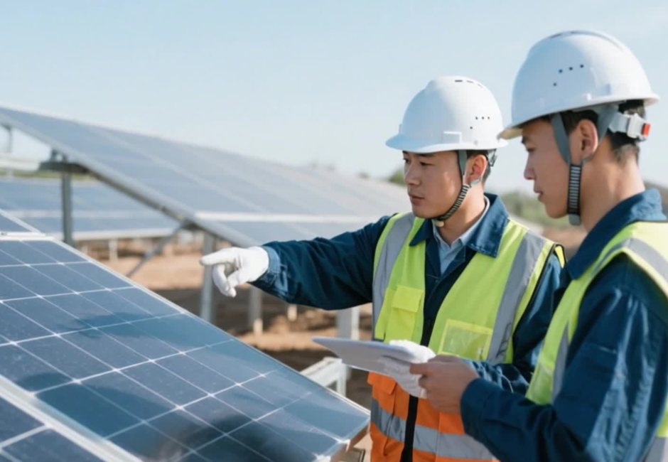
In urban infrastructure, thermal imaging can support rooftop photovoltaic hot-spot inspection, heat-supply pipeline leakage detection, road waterlogging analysis through temperature differences, bridge expansion-joint anomaly checks, and early warning for spontaneous combustion in waste storage areas.
For AI recognition, it is usually better to complete the first round of detection on the aircraft or edge device. Instead of uploading full video continuously, the system can transmit bounding boxes, temperature points, alarm metadata, and key frames. This reduces link bandwidth pressure and allows command centers to focus on events rather than raw streams.
Data design is as important as sensor selection. Useful outputs may include radiometric temperature data, timestamps, GPS/IMU information, lens parameters, gimbal angle, alarm type, and image coordinates. Without these fields, a project may produce attractive images but weak operational evidence. For repeat inspection, especially in power and municipal scenarios, consistent route planning and comparable measurement geometry are essential.
How to Select a Low-Altitude Thermal Imaging Payload
When procuring a low-altitude thermal imaging payload, do not evaluate only “detection distance.” First define the mission.
For temperature-measurement inspection, prioritize temperature accuracy, lens focal length, radiometric calibration, and repeatable measurement geometry. For search and rescue, prioritize field of view, frame rate, low-latency transmission, and visible-plus-thermal fusion. For security, prioritize gimbal stability, AI tracking, and long-focal-length capability. For firefighting, prioritize temperature range, anti-saturation behavior, and the ability to preserve detail in high-temperature scenes.
For power line and photovoltaic inspection at 50–150 meters, 640×512 or 1280×1024 LWIR is usually the first choice. For nighttime rescue and city operations, visible-light plus LWIR fusion is often more practical than a thermal-only payload. For long-range security, smoke or dust backgrounds, or very hot targets, cooled MWIR should be evaluated. For projects requiring automatic alarms, the team should also review onboard AI computing power, data interfaces, timestamp handling, temperature metadata output, and backend algorithm compatibility.
What Resolution and Lens Should Low-Altitude Thermal Imaging Use?
Resolution and lens focal length should be selected together. A higher-resolution detector does not automatically solve the problem if the lens is too wide or the flight height is too high. Conversely, a long focal length can improve target sampling but narrows the field of view, making search tasks slower and increasing demands on gimbal stabilization.
For detailed inspection of small components, calculate ground sampling distance first. If a clamp or connector needs to be evaluated for local heating, the target should occupy enough pixels to avoid spatial averaging. For wide-area search, a wider lens may be preferable because the mission goal is rapid discovery rather than precise measurement. For long-distance perimeter confirmation, a narrower field of view and stable tracking become more important.
A practical configuration process is to define target size, minimum useful pixels on target, flight height or standoff distance, and required coverage width. Only after these are clear should the team compare detector resolution, pixel pitch, lens focal length, and gimbal payload limits.
FAQ
Does a low-altitude UAV thermal imaging system always need 1280×1024 resolution?
No. If the target is large and the aircraft flies at low altitude, 640×512 can be sufficient. 1280×1024 becomes more valuable when the project needs wider coverage, longer-distance recognition, or post-flight cropping and analysis.
Can thermal imaging work normally in rain and fog?
It often performs better than visible imaging in light fog, smoke, and dust, but heavy rain and dense fog significantly attenuate infrared radiation. Engineering designs should retain visible cameras, radar, manual confirmation, or other backup methods where safety matters.
For power inspection, is temperature accuracy more important than resolution?
Both are important. Temperature accuracy determines measurement credibility, while spatial resolution determines whether heat rise on small parts is averaged away. For small-component inspection, sufficient pixel coverage is usually the first constraint to verify.
What is the most common mistake in low-altitude thermal imaging procurement?
The most common mistake is selecting a thermal camera as if it were a normal video camera. Infrared projects must confirm waveband, lens, temperature range, NETD, radiometric calibration, gimbal stability, interface protocol, metadata output, and backend algorithms together.